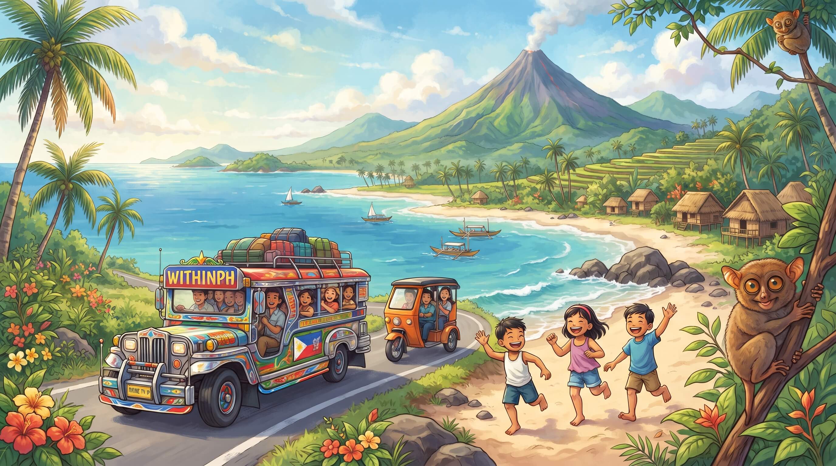
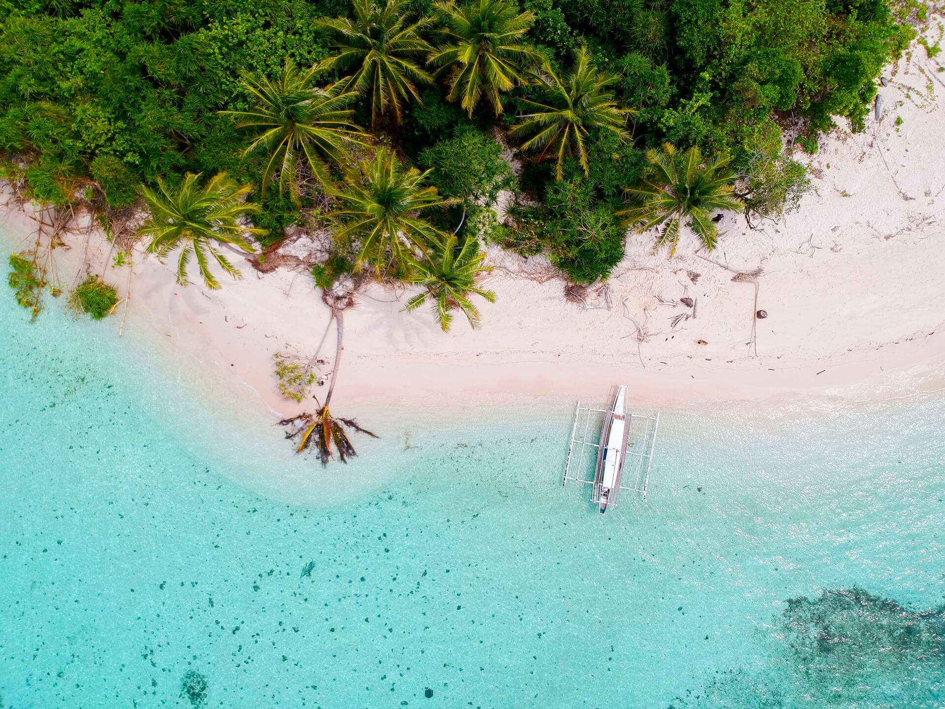
Ever tried planning a barkada trip to three different islands in one weekend and realised halfway through that boats stop running at 4:00 PM? Yep, classic island problems. When we talk about going on a trip, we usually obsess over the usual stuff: flight seat sales, aesthetic Airbnb finds, and where to get the best local food. But if there is one hidden director calling the shots on how we explore, it's the physical layout of the land and water itself.
Understanding the Philippines' geography and travel changes everything about how you map out your next adventure. This country is not just a spot on the map; it's a massive puzzle of peaks, coasts, and straits that dictates every single move you make.
Why Island Hopping Takes More Than Just a Map
If you look at a map of the Philippines, you'll notice it isn't one solid landmass where you can just hop in a car and drive from north to south in a straight line. With over 7,000 islands split into Luzon, Visayas, and Mindanao, crossing from one place to another requires serious planning.
In countries with continental landmasses, travel is mostly about distance. Here, travel is about connections.
The Ferry Factor: Want to visit neighboring provinces in the Visayas? Be ready to get friendly with RORO (Roll-on/Roll-off) vessels or outrigger boats (bangkas).
Weather Dictates the Vibe: Because of our island setup, Mother Nature always has the final say. A sudden tropical storm can ground flights or halt ferry services in seconds, turning a chill weekend getaway into an unexpected staycation.
The Layover Reality: Flying domestic often means passing through major hubs like Manila or Cebu, even if your final destination looks close on a map.
This layout means travel here forces you to slow down. You can't rush an archipelago. You have to move at the rhythm of the tides and the availability of local transport.
Mountains, Valleys, and Why Road Trips Hit Different
It isn't just about the sea. The interior terrain of the country is fiercely rugged. Towering mountain ranges and active volcanoes slice through major islands, which completely changes how roads are built—and how we experience road trips.
The Mountain Barrier Effect
Think about driving up to Sagada or Banaue. Those winding cliffside roads exist because the Cordillera mountains leave very little flat ground. While it makes for some of the most jaw-dropping views on earth, it also means point-to-point travel takes twice as long as the distance implies. A town that looks fifty kilometres away on your phone might actually be a gruelling four-hour drive through hairpin turns.
Coastal Corridors
Because the interiors are often wild and mountainous, most major towns and highways hug the coastline. Your road trips come with a permanent soundtrack of crashing waves and endless ocean views on one side, and towering green cliffs on the other. It's scenic overload, but it also means there are fewer alternative routes if traffic builds up or a landslide blocks the way.
How Geography Created Unique Regional Cultures in the Philippines
Have you ever noticed how people from different regions have completely different vibes, accents, and even comfort foods? Geography is the main culprit.
Natural barriers like massive mountain chains and wide channels used to keep communities relatively isolated from one another. Without fast modern transport, each island and province cooked up its own distinct flavour of local culture.
The Coastal Communities: Places heavily exposed to open seas developed deep-rooted fishing traditions, incredible marine life sanctuaries, and a lifestyle dictated by the monsoon winds (amihan and habagat).
The Valley and Plain Dwellers: Regions blessed with wide flatlands, like Central Luzon, naturally became the agricultural heartlands, shaping local economies centred around endless rice paddies and inland markets.
When you pack your bags and move across these regions, you aren't just changing scenery. You are crossing invisible borders that were shaped thousands of years ago by rivers, seas, and stone.
Pro-Tips for Navigating an Archipelagic Playground
Knowing how the land and water interact helps you avoid rookie travel mistakes. If you want to master local exploration, keep these practical notes in mind:
1. Build a Buffer Day: Never schedule a flight out of Manila two hours after your ferry from a remote island arrives. Give yourself a 24-hour safety net for unexpected sea cancellations or weather delays.
2. Embrace Multi-Modal Transport: Be ready to ride a tricycle, hop on a jeepney, board a fastcraft, and take a habal-habal all in the span of a single afternoon. Pack light so you aren't fighting a heavy suitcase on a rocking wooden boat.
3. Respect Local Schedules: In many island destinations, life winds down early. Ferry docks and local terminals operate on sunlight, not 24-hour clocks. Always check the last trip out.
At the end of the day, these geographic quirks are what make exploring the islands so rewarding. It's raw, unpredictable, and entirely unique.